Project Description
services
Expertise
Holding broad experience in the areas listed below, the Institute offers services related to preparing bespoke expert reports.
- Artificial intelligence,
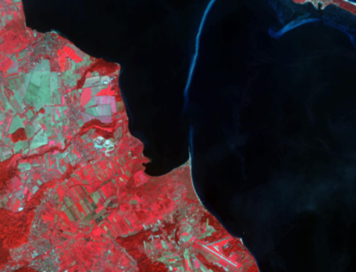
- Spatial Information Systems/SDI,
- Graph databases/Linked Data/Semantic Web,
- Photogrammetry and remote sensing.
Below, a list of examples of expert reports commissioned by public administration authorities is presented:
- Expert report for GUGiK
The Institute, together with KON-DOR consultancy, will prepare an expert?s opinion for the Head Office of Geodesy and Cartography on the new directions for implementing INSPIRE directive. The report is to support the Head Office of Geodesy and Cartography in specifying priority actions in financial perspective 2014-2020 with regard to further implementation of INSPIRE Directive in conjunction with the objectives of the Digital Agenda for Europe (DAE). The report will include:
- Analysis of the current status of implementing INSPIRE Directive, in particular with regard to DAE objectives taking account of the costs and benefits for the citizens in this respect.
- Assessment of the options for obtaining support from EU funding for actions aimed at further development of electronic services and development of digital competencies of citizens with regard to geoinformation.
- Identification of goals set in the above regard and indicating tools that will be used to deliver on those goals.
- Recommendations necessary for effective implementation, in the financial perspective 2014-2020, of actions resulting from providing added value with regard to geoinformation and reuse of the official reference geoinformation from the public sector on multiple levels of detail.
- Analysis regarding specifying the development of e-services in Poland versus EU countries with regard to geoinformation, which help stimulate the market of e-services by supporting micro and small enterprises, activate the supply of digital products and services, and set the future standards for the quality of spatial data.
- Consultancy service for the capital city of Warsaw
The Institute, together with 300 D&C will provide expert work related to building and developing spatial information infrastructure for the capital city of Warsaw, and in particular for the Central Database for Spatial Data (CDSD).
The scope of work includes:
- Development of expert documents on the spatial information infrastructure for the capital city of Warsaw.
- Participation in the work of task groups and tender commissions of the Contracting Party as the technical expert or expert.
- Support with regard to ensuring correct operation and development of spatial information infrastructure.
- Subject-matter support with regard to project management in terms of methodology.
- Subject-matter support in relation to software engineering.
- Quality assurance for projects delivered as part of CDSD.
- Expert report ?INSPIRE Roadmap for the Ministry of Environment? (Warsaw 2016)
The Institute, together with KON-DOR consultancy, provided an expert report for the Ministry of Environment, which provides an analysis of the status of implementing INSPIRE directive in the Ministry of Environment, and a roadmap of the required actions (resulting from statutory obligations), and optional ones (resulting from good practices), leading to correct and timely implementation of INSPIRE directive. The expert report was very substantial in size, as it covered the activities of units subordinate and supervised by the Ministry of Environment, and therefore it discussed 12 out of 34 INSPIRE spatial data subjects from all three annexes to the directive. As part of the study, the concept for spatial information infrastructure was developed for the Ministry of Environment and multiple recommendations re. harmonising the spatial data of the ministry, justification of building SII in many variants, the potential risks and the response to them.
- Guidelines for identifying data sets as part of INSPIRE subjects (Warsaw 2016)
The Institute, together with KON-DOR consultancy, developed for the Ministry of Environment the guidelines supporting the identification of spatial data sets in the subjects related to spatial data:
§ Natural risk zones (3.12),
§ Species distribution (3.19),
§ Habitats and biotopes (3.18),
in order to adjust data sets to INSPIRE regulations. The documentation developed is meant for the potential administrative authorities and third parties (administrating spatial data) who administer or are in any way responsible for such data.


