Project Description
usługi
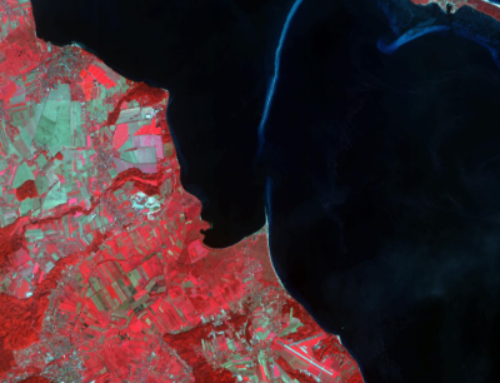
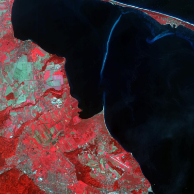
Photogrammetry
The Institute offers the full scope of high quality services in aerial and satellite photogrammetry. We offer the following services:
- aerotriangulation of aerial and satellite images (VHR),
- creating a digital terrain model,
- two- and three-dimensional digitalisation,
- LiDAR data classification,
- generating orthophotos (from aerial and satellite images),
- controlling photogrammetric data (aerotriangulation, dtm, vector data, LiDAR) and 3D models of buildings (e.g. CityGML),
- other non-standard solutions.
The experience of the Institute in the above areas is confirmed by the fact of having made orthophotos for several hundred municipalities in Poland, with total area covered exceeding several hundred thousands square meters.


